Sunday, September 23, 2012
Day 25-26 ~ Monument Valley, Utah
Yesterday our group took a 5 1/2 hour tour of Monument Valley. The entire trip was in open air shuttle vehicles along dusty red dirt roads. We really did have a great time.
Our guide explained that the reservation is making a concentrated effort to teach the native language and skills in the schools. The children learn how to weave, dye material, make jewelry and pottery.
One of the formations is called "The Flintstones" - Fred & Barney.
We drove to some arches. Chig climbed up and took a picture of our group below.
We then saw an alcove dwelling called Square House.
Another alcove was called Baby House because there are children's hand and foot petroglyphs on the floor.
After viewing a large wall of petroglyphs we had Navajo Burgers cooked by our Navajo guides.
Today we drove to the visitor's center for Monument Valley Navajo Tribal Park. The center had a small museum and large gift shop. We then started out on the 17 mile loop road through the park. At the first turnout we turned around. The road was rutted dirt with a lot of bumps and dust. The speed limit was 15 mph but we were only able to go 5 mph. Because we had other places to visit we continued on to our next destination, Goosenecks State Park. The pictures do not do it justice. The San Juan river flows in loops at this point and has carved three Gooseneck shaped land masses. It was really quite a sight.
We continued to a dirt road and another 17 mile dirt/gravel road through Valley of the Gods. The road condition was much better. We saw some interesting rock formations along the way.
This is Lady in a Bathtub.
We thought this looked like a train engine.
This afternoon our tour directors treated us to a fantastic quesadilla, nacho, margarita social.
Saturday, September 22, 2012
Day 23-24 ~ Cortez, Colorado & Monument Valley, Utah
At one o'clock Wednesday, we boarded a rather old bus. I think it may have been a school bus at one point in time but the seats were a little nicer. It brought to mind our raft trip earlier on this trip. We traveled to the river in a Barney-purple school bus. The driver informed us that the life of a bus goes from school to church to prison to tours. In any case, we were all happy to be on our way back to Mesa Verde National Park. On the long uphill drive we were served a delicious box lunch from the park's cafeteria. Our tour guide was very good and we made many stops throughout the park.
Mesa Verde, and most of the four corners region, was originally populated by a group called the Anasazi from 1 to 1200 A.D. Current terminology refers to the group as Ancestral Puebloans. After 1200 A.D. the area was abandoned. The cause is still unknown but many suspect it was due to a severe drought lasting for years. While living in the area, natural cliff alcoves were used as a protected location for homes. The alcoves were reached by using a series of finger and toe holds in the cliff face and ladders within the alcove.
Most of the vegetation in the area was similar to what is there now, Utah Juniper, Pinon Pine and the Yucca plant. The trees were used for wood but all parts of the tree were used in some way.
Turkeys were treated as domestic pets and their feathers were used for bedding. Only during droughts is there evidence that the turkeys became a food source.
Our first stop was to view a pithouse (575 A.D.) Part of the dwelling is below ground level. Wood poles where then driven into the ground and additional wood formed a frame which was then covered with mud or dirt.
Our second stop was to view a kiva (900 A.D.) The underground portion is deeper. They were often used for ceremonies.
Although we could not take the guided tour of the Cliff Palace, we were able to see it across the canyon. It is another example of an alcove dwelling. The black streaks are called desert varnish which we have seen throughout the Southwest. It is caused by iron oxide.
We stopped at the largest cliff community, Spruce Tree House. Here there was a 1/4 mile paved path to the cliff dwellings.
Yesterday was a travel day. Enroute we traveled onto the Navajo Reservation where we stopped at four corners.
In this picture Dawn is in Arizona, Chig is in Utah, Curt is in New Mexico and I am in Colorado. I then had to "be" in all four states at the same time. Not the easiest position.
Our trip continued through Navajo land to Mexican Hat Rock. It is viewed as an upside down sombrero. See what you think. The small town of Mexican Hat is just a few miles down the road.
We are staying at Goulding's RV Park, Monument Valley, Utah, on the Navajo Reservation. This was originally the location of the ranch of Harry and Leone "Mike" Goulding. They arrived in the 1920s and made a living amongst the Navajo as sheep traders. During the Great Depression, Harry brought famous movie maker John Ford to the area where he made the first area film, "Stagecoach", with John Wayne. The film industry brought employment to many on the reservation.
Nearly all 44 RVers went to the lodge for dinner. Many of us had the Navajo Taco which was served on fry bread. After dinner we went to a small theater and watched the John Wayne movie, "The Searchers", which was filmed in this area.
Friday, September 21, 2012
Monument Valley Update Sept. 21st
I have been trying to upload pictures and my blog update but the internet is impossily slow. Please check back late tomorrow!
Wednesday, September 19, 2012
Day 21-22 ~ Cortez, Colorado
Yesterday we left at 6:15 a.m. and took four vans to Durango, Colorado, where we caught the historic narrow gauge train to the mountain town of Silverton, one of the highest towns in the United States, at 9,305 feet. The town of Durango was organized in 1881 by the Denver and Rio Grande Railroad to service the local mining district.
The Durango train station is located in the charming Old Town area.
We took the 3 1/2 hour train ride on a train powered by a charcoal fueled steam engine. The train just celebrated its 130th anniversary.
The scenery was a welcome change from all of the red rock we have seen for the past 3 weeks. I felt right at home as we traveled into the San Juan Mountains which reminded me of the Sierras in California. There were areas that looked a lot like Yosemite. The colors are changing and we saw the beautiful yellows and golds of the Aspen trees.
At times the steam from the train formed beautiful rainbows.
The trip followed the Animas River.
Today the vans picked us up after 8 a.m. and we headed to Mesa Verde National Park. The park entrance is only 1 mile from our RV park but we then had to travel 15 miles up a steep road to reach the visitors center. As we approached our driver mentioned that the Department of Transportation was there for commercial vehicle inspections and said they were also there yesterday. He assured us all was in order with his vehicle. Our group went to the visitor's center and before long we were made aware there would be a short delay while the vans were inspected. Three hours later, one of the drivers had been arrested for failure to pay a ticket for a fishing license violation and two of the vans were detained because they did not have the proper paperwork. We were stranded. As we were eating our box lunches, we stopped a bus driver who said he had an empty bus for two hours and agreed to take us back to the RV park. A large bus has been arranged for tomorrow and we will try our park tour again.
Monday, September 17, 2012
Day 19 - 20 ~ Moab, Utah & Cortez, Colorado
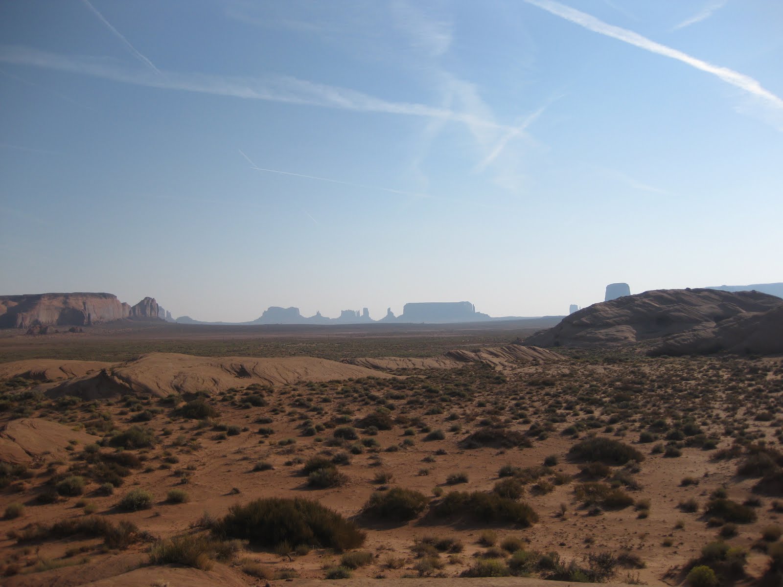
Over the past few days in Moab, we have learned more about the town. The Old Spanish Trail passed over the Colorado River at this location. It was officially established in 1902. Between 1910 and 1920, mining of Uranium, Potash, vanadium and manganese spurred some growth. During the 1950's, Charles Steen discovered a rich deposit of Uranium ore just south of the town, making Moab the Uranium Capital of the world. During the Cold War, this discovery resulted in a 500% growth in the size of the town. Later the town again dwindled in size until creative thinking and marketing of the National Parks in the area and recreation sparked new growth. Visitors are now attracted to the area's hiking trails, mountain bike trails and many consider this town an ideal retirement community.
Yesterday morning our tour guides prepared a delicious sweet potato pancake and bacon breakfast. We then headed for a leisurely walk through downtown. After a pizza lunch, we headed to Hole in the Rock, just south of Moab. Although it is basically a tourist trap, the house tour was interesting. The 5000 square foot home of Albert & Gladys Christensen was chiseled, dynamited and chipped out of the side of a sandstone cliff. One large room was opened as a cafe. Other alcoves were used as bedrooms and bathrooms plus there was a very large living room. Albert was an artist and his art is displayed throughout the rooms. He also sculpted FDR on the outside wall. After Albert's death in 1957, Gladys opened the home for tours. After her death in 1974, the tours were continued by her son Hubert. About 10 years ago Hubert sold the property to a private company.
On the grounds we saw several interesting sculptures. One of a giant bull was made from nuts, bolts and old tools.
Another sculpture is of a golfer and is made entirely of golf clubs.
Before returning to the RV park we drove through a neighborhood adjacent to the Golf Club. We found a unique home with a man made arch in the yard.
At 4:30 14 RVers left the park for a 5:00 Sunset Tour on Polaris Razor ATVs. Each Razor holds 4 people. We had two Razors with 4 in each and 3 couples rode alone in a Razor. We rode with Charlie (our DD)and his wife Cheryl. Charlie has had military experience with desert vehicles and did an excellent job!
After some Razor instructions and a short drive on paved roads, we entered Hell's Revenge through Sand Flats Recreation Area. The very first hill is called Devil's Spine.
I took one picture before I realized we were on a very steep narrow ridge of rounded sandstone with drop-offs on both sides. My camera went down, my hands went over my eyes and I started praying, asking God to please let me live through the next 60 seconds.
During the next three hours we went up and down VERY steep rocks. We crossed the Slipperyrock Mountain Bike trail several times. We stopped to look at a fossilized dinosaur track and again at Echo Canyon.
The half-way point was on a bluff overlooking the Colorado River.
Finally, the sunset!
Some of the scenery was breath taking and I am glad I went on the trip. I must say however, had I known about that first ridge I would not have gone. Charlie was an excellent driver and I trusted him. It helped that he also reminded me at times to "trust the vehicle". Everyone was caught off guard by the "extreme sport" we experienced but we all had a good time. We all agreed we can now scratch that adventure off our lists!
This morning we headed to Cortez, Colorado. Enroute we stopped at Wilson Arch. The two hikers give size perspective.
We continued across a high plateau of valleys and farms. We passed many fields of freshily mowed alfalfa.
We are all settled in at our Cortez RV park. We leave at 6:15 a.m. for Durango!
Saturday, September 15, 2012
Day 17-18 ~ Moab, Utah
Yesterday we went to Arches National Park. Hard to believe but "yes" it was another day of amazing scenery. Like Canyonland, Arches is located on the Colorado Plateau.
We stopped at the visitor's center and watched a Discovery Channel film. We also rented a CD to guide us though the park. It was very informative and useful. The park is full of rock formations and narrow rows of fins that are created when the sandstone erodes as a result of water and ice. Over many years some of the centers thin out and form arches which are found throughout the park. The erosion has taken place for 100 million years and continues today.
One of the great rock structures is called Balanced Rock.
We visited Wolfe Ranch and the tiny, primitive ranch house. It was home to John Wesley Wolfe who settled there in the late 1800s. He had suffered a serious leg injury in the Civil War and was seeking a dryer climate. He chose a tract of 100 acres along Salt Wash which enabled him to raise a few cattle.
Just beyond the house and across Salt Wash, we viewed some great petroglyphs. This rock art was created by the Ute Indians between 1650 and 1850.
This is a picture of Skyline Arch
Today we had a relaxing morning followed by a 7 mile float trip on the Colorado River.
Thirty one of our RV group went on the trip. Our guide was Kevander (a combition of Kevin and Alexander). We learned he is a rock climber. Coincidently we watched him climbing at Arches yesterday. Our trip was supposed to be Class 1 & 2 (pretty mild). We did float through four rapids that were probably Class 1/2 if there is such a thing. The river is VERY low. We still had a great time and enjoyed the beautiful scenery and canyon walls.
Thursday, September 13, 2012
Day 14-16 ~ Moab, Utah
We have been quite busy since my last post.
I did not previously write about our drive from Bryce to Torrey. The road was not an easy one. We faced 8% and 10% grades both up and down along a narrow twisty road - no shoulders to speak of. At one point we were on a narrow 2 lane road at the top edge of a long narrow ridge with a deep canyon on each side. Even so, it was a very beautiful drive. At some points we were in deep canyons with tall red layered walls. We were then at higher elevations in beautiful groves of aspen trees. When we finally arrived, one of the other RV drivers said he was surprised his RV did not tip over on the driver's side as his wife was leaning so far towards him. I was doing plenty of leaning as well and my knuckles definitely turned white! Everyone (whether driver or navigator) was exhausted upon arrival.
On Tuesday we awoke to dark skies and drizzling rain. We headed to a place I had never heard of, Capitol Reef National Park. Our first stop was the visitor's center where we found postings of flash flood warnings. In front of the building our nation's flag was flying at half-mast reminding us of the nation's tragic loss on September 11th, 11 years ago. We will never forget.
This area was yet another settled by the Mormons in the mid 1800's. They discovered that the river running through this fertile valley provided the perfect soil for apple and peach orchards. We visited the old stone school house and original homestead where we ate fresh baked miniature pies. We also viewed petroglyphs left long ago by Indian inhabitants. At one turnout we could view the Capitol Dome within the park. We also saw a beautiful Bristle Cone Pine.
The entire region is part of the Colorado Plateau. One sign stated the park has the best visibility in the lower 48 states with a range of 145 miles. On this rainy day we could not tell. The park road passes though many washes that are susceptible to flooding. After driving quite a ways into the park, the rain fall increased and we decided to return to the RV park. The rain continued the rest of the day and into the night.
On Wednesday morning we left Torrey and headed for Moab. The sky was partially cloudy with the sun attempting to peek through. Our route took us back through Capitol Reef and out the northern end. The terrain was ever changing. The red rocks gave way to gold and then to grey. Some of the terrain is how I envision the surface of Mars, devoid of color.
Enroute we stopped at Valley of the Goblins. This is yet one more geological wonder.
I think you will see how it got its name!
We then continued to the town of Green River, the home of the Melon Festival and the John Wesley Powell Museum. John Wesley Powell was an explorer who successfully navigated the Green River and Colorado River in 1869. The museum had an excellent movie, displays and actual boats that were used during the early exploration of the Colorado River.
Last night we had a group dinner followed by a night boat trip into a canyon on the Colorado River for a light show that has been presented for the past 40+ years.
Today we left at 8 a.m. for a bus tour of Dead Horse Point State Park and Canyonlands National Park. The sun was bright with an expected high of 85 degrees. The view from Dead Horse was beautiful although the sky was very hazy. According to our guide, the haze was caused by smoke drifting east from California fires. Dead Horse is located 2000 feet above the Colorado River. During the 1800s cowboys would drive wild horses out to the point where a natural corral was created. Legend has it that at one time some horses were left on the point without water and died.
Canyonlands provided views of the surrounding canyons.
This afternoon we drove along the Colorado River to Castle Creek Winery and the Red Cliffs Lodge. At the lodge we visited the Movie History Museum. Many movies have been filmed in this area from westerns to movies like Thelma and Louise. Recently a Tom Cruise movie was completed and Johnny Depp in the Lone Ranger will be released soon. We had some extra time for Chig to hang out with John Wayne.
Subscribe to:
Posts (Atom)